In the realm of modern agriculture, timely detection of pests and diseases is paramount for ensuring crop health and maximizing yields. Traditional field scouting methods can be labor-intensive and often miss early warning signs. Drone mapping services offer a cutting-edge solution, enabling farmers to identify and address potential issues before they escalate into major problems.
The Capabilities of Drone Mapping Services
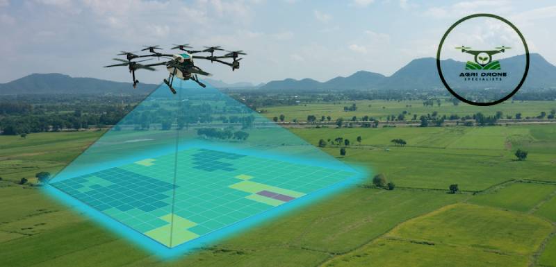
Drone mapping services employ advanced imaging technologies to capture high-resolution images of crops. These images are analyzed to detect variations in plant health that may indicate the presence of pests or diseases. Equipped with multispectral and thermal cameras, drones can capture data beyond the visible spectrum, revealing subtle changes in plant health.
For example, multispectral imaging can detect changes in light reflection from plants, which can signal early stress due to pests or diseases. Thermal imaging can identify temperature variations across a field, highlighting areas where plants might be experiencing infection or infestation.
Early Detection and Prompt Interventions
With the ability to detect pests and diseases early, drone mapping services allow for timely interventions that can prevent widespread crop damage. When drones identify problematic areas, farmers can target these specific spots instead of treating an entire field. This precision reduces pesticide and herbicide usage, cutting costs and minimizing environmental impact.
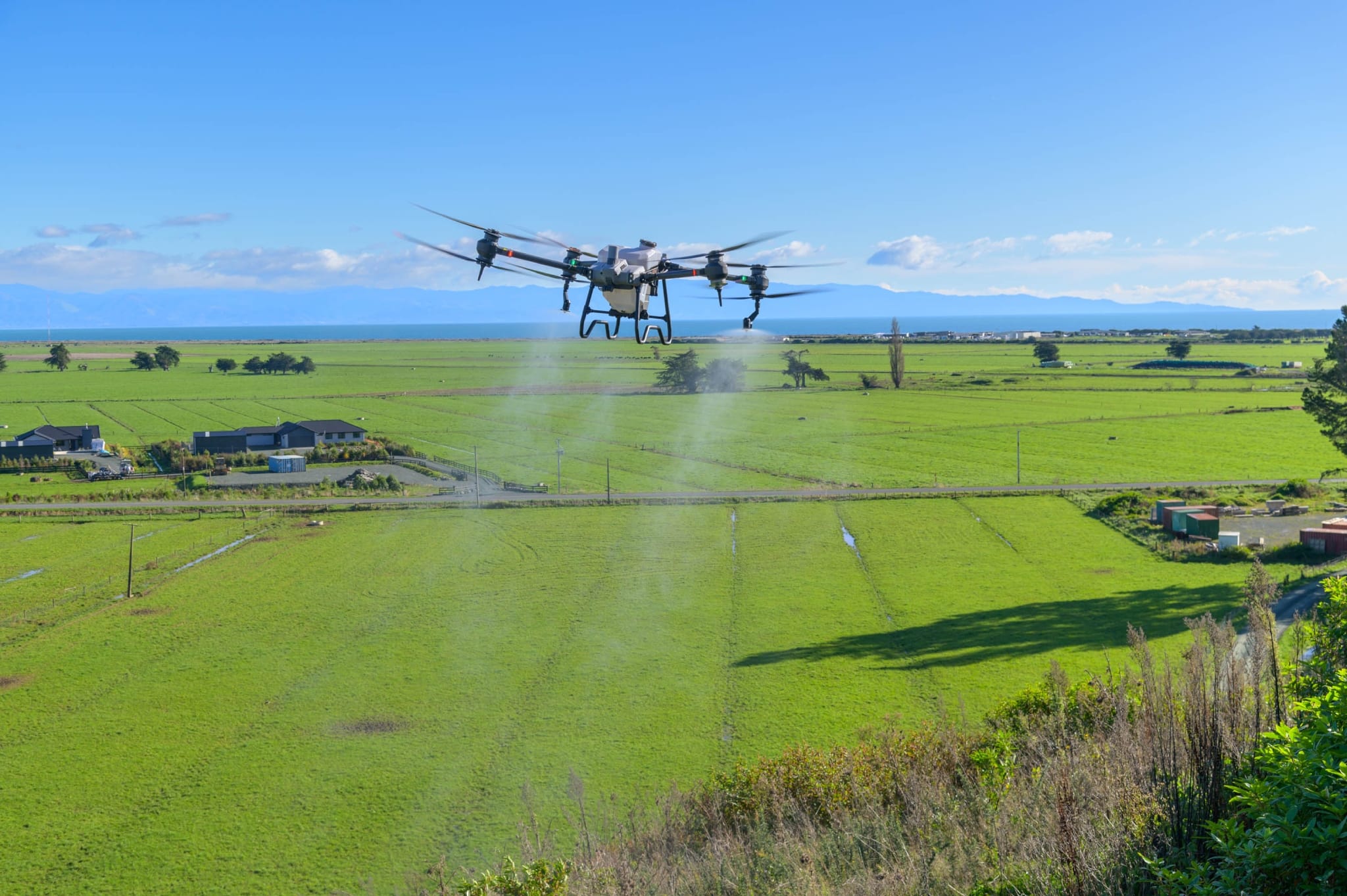
Additionally, drones can be used for spraying herbicides. Once an affected area is identified, drones can apply treatments directly to these zones, ensuring that healthy plants remain free from unnecessary chemical exposure. This targeted approach supports more sustainable farming practices.
Real-World Applications and Case Studies
Numerous case studies demonstrate the efficacy of drone mapping services in early pest and disease detection. In vineyards, drones have been utilized to identify grapevine diseases before visible symptoms emerge. By analyzing multispectral images, vineyard managers can pinpoint diseased vines and take steps to prevent the spread.
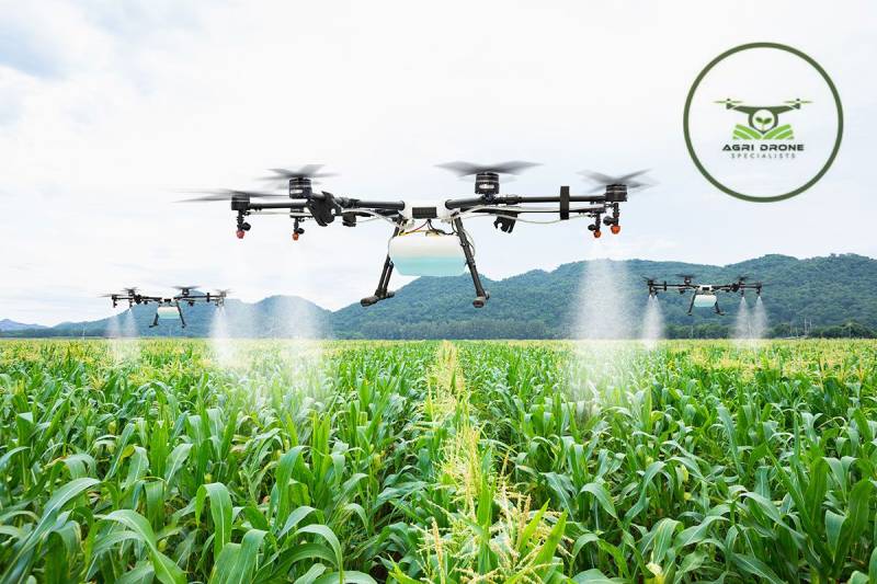
Similarly, in expansive cornfields, drones with thermal cameras have detected early signs of pest infestation. The resulting data enabled farmers to deploy drone spraying precisely, eradicating pests before they could cause significant damage.
Beyond Detection: Additional Benefits
The advantages of drone mapping services extend beyond early pest and disease detection. The collected data can monitor crop growth, evaluate treatment effectiveness, and improve overall farm management. By integrating drone technology with traditional agricultural practices, farmers can make informed decisions that enhance productivity and sustainability.
Conclusion
Drone mapping services are revolutionizing agricultural pest and disease management. The ability to detect issues early and intervene precisely not only safeguards crops but also fosters more efficient and sustainable farming practices. As these technologies advance, their role in modern agriculture will become increasingly essential, helping farmers worldwide maintain healthy crops and achieve better yields.


