The Impact of Drone Mapping on Modern Large-Scale Farming

In the agricultural world, large-scale farming presents a unique set of challenges. Managing vast fields, monitoring crop health, and optimizing resources can be overwhelming. This is where drone mapping services come in—a cutting-edge technology reshaping how large farms operate. Here’s how drones are making a difference in the industry.

Precision from Above
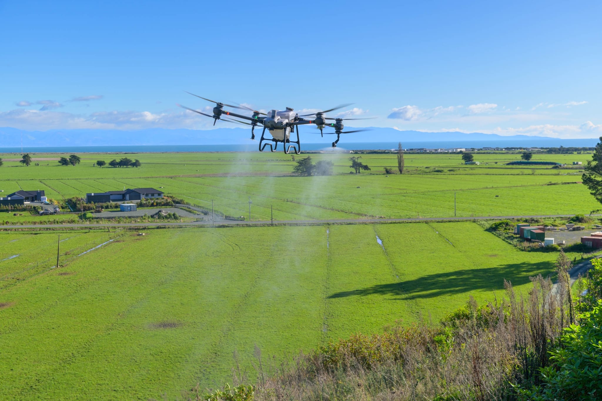
Drone mapping offers an unparalleled aerial view of sprawling farmlands, delivering exceptional clarity and speed compared to traditional methods. Equipped with high-resolution cameras and advanced sensors, drones provide a comprehensive overview that allows farmers to assess their land efficiently.
With detailed images and data on crops, soil, and infrastructure, farmers can detect issues like pest infestations or plant diseases early. Identifying these problems before they spread helps protect crops and prevent significant losses.
Improved Resource Management
Effective resource management is crucial for large-scale farms, and drone mapping plays a vital role in optimizing the use of water, fertilizers, and planting strategies.
• Irrigation: Drones map water flow across fields, identifying areas of over- or under-watering. This data helps farmers develop efficient irrigation plans, reducing water waste while ensuring even coverage.
• Fertilization: By analyzing soil composition, drones allow for targeted fertilizer application. This precision minimizes excessive use, cuts costs, and promotes sustainable farming practices.
• Planting: Drone-collected data aids in planning planting patterns based on land topography, leading to better crop placement, improved yields, and enhanced farm performance.
Streamlined Operations
Large farms often involve complex operations with multiple teams working simultaneously. Drone mapping simplifies these operations by providing real-time, actionable data that enhances coordination and boosts efficiency.
• Data Integration: Drones collect extensive data that can be integrated directly into farm management systems, ensuring decisions are based on the most current and accurate information.
• Time Efficiency: Unlike traditional methods, which are labor-intensive and slow, drones cover large areas in a fraction of the time. This allows farmers to focus on execution rather than data collection.
Promoting Long-Term Sustainability
Drone mapping contributes to long-term sustainability by enabling ongoing monitoring and data analysis. This helps farmers make informed decisions that increase productivity while preserving the environment.
• Crop Health Monitoring: Regular drone flights allow farmers to track crop health over time, making adjustments to enhance soil health and boost yields.
• Environmental Impact: By optimizing resource use, drones help reduce environmental harm. Efficient irrigation and fertilization practices minimize waste and support environmentally sustainable farming.

Conclusion
Drone mapping and drone seeding services are transforming large-scale farming operations. For large farms seeking to thrive in today’s competitive landscape, adopting drone technology is no longer optional—it’s a necessity. This innovation is driving greater efficiency, sustainability, and productivity across the industry.